As March begins, winter keeps tight grip on much of U.S.
BOSTON - After cold and snow that set February records, southern New England is entering March with another round that could push Boston over its 20-year-old season record.
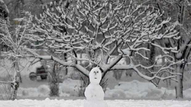
With 102 inches, Boston needs 5.7 more to break the 1995-1996 record of 107.6.
Snowfall of 4 to 6 inches is expected by early Monday across the area, with up to 8 inches in southeastern Massachusetts and Rhode Island. Less is expected in northern Massachusetts and New York state, and on Cape Cod.
Temperatures are expected to be in the upper 20s and lower 30s, moving out of the deep freeze that hit the Northeast last month.
The Northeast Regional Climate Center reports that the New York cities of Buffalo, Syracuse, Binghamton and Ithaca had their coldest months ever.
There were also February records elsewhere. Record low average temperatures for the month were set in Hartford, Connecticut, at 16.1; Harrisburg, Pennsylvania at 20.9; and Portland, Maine at 13.8. That's more than 11 degrees below normal for each city.
Caribou, Maine's average February temperature of 2.5 degrees was also a record low. Boston's 64.8 inches of snow in February easily beat the city's old record of 41.6 inches.
Through Feb. 26, Boston had 102 inches of snow. Normal is 34 inches. Providence, Rhode Island, had a February record 31.8 inches of snow, bringing the season's total to nearly 60 inches, twice the normal amount.
Elsewhere, heavy snow is expected in the Rockies, and heavy rain in the Southwest. Snow was falling from the Ohio Valley into the Northeast, with freezing rain in the Mid-Atlantic.
Weather forecasters in Colorado have issued blizzard and avalanche warnings as Pacific moisture continued to bring snow and strong winds to the Continental Divide on Sunday. The storm is expected to last through Monday, with another storm expected Tuesday.
The National Weather Service issued a blizzard warning for Wolf Creek Pass and the Colorado Avalanche Information Center issued avalanche warnings for the South San Juan, Sangre de Cristo and Gunnison areas. The avalanche danger in southern Colorado has been increased to high.
By Saturday afternoon, the Wolf Creek Ski Area reported a foot of new snow, giving them 5 feet of new snow in the last week. Natural avalanches were reported above Wolf Creek Pass, and the Colorado Department of Transportation triggered a number of snow slides to protect drivers.